⛽
Range-aware fuel stops
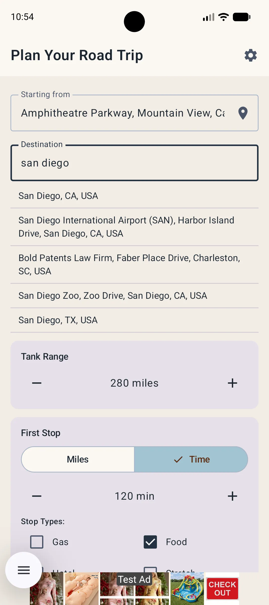
Use your approximate tank range and preferred refuel point to place gas stops where they make sense.
OnTheWay plans gas, food, hotel and stretch stops around your actual route and tank range—then hands the drive to Google Maps, Apple Maps or Waze.


Free to use · No account required · Ad-supported · No subscription

Instead of searching after the low-fuel light comes on, build the useful stops into your trip before you pull out.
Use your approximate tank range and preferred refuel point to place gas stops where they make sense.
Prioritize the fuel, food and hotel brands you actually prefer, with region-aware options.
Send your planned stops to Google Maps, Apple Maps or Waze for turn-by-turn navigation.
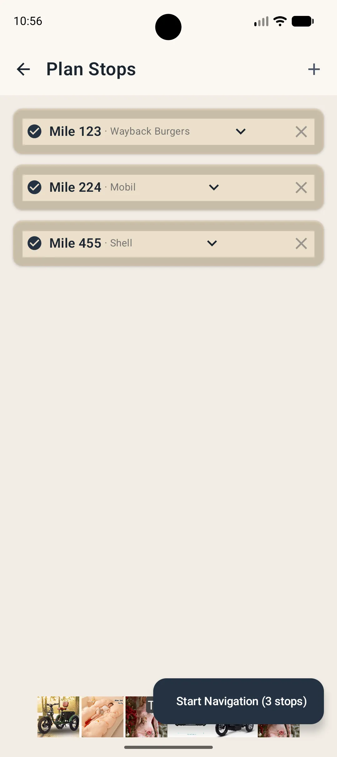
Mark stops complete, resume a trip where you left off, and see your next stop from CarPlay on supported iPhones.
OnTheWay handles the “where should we stop?” part so your navigation app can handle the road.
See the full workflowChoose a destination, tank range and the types of stops you want along the way.
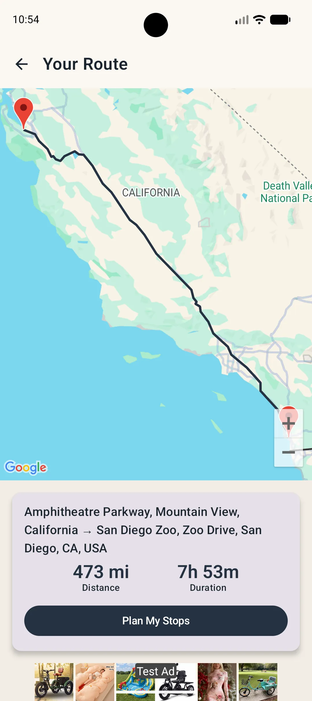
See the trip distance, timing and suggested stop intervals before planning individual stops.
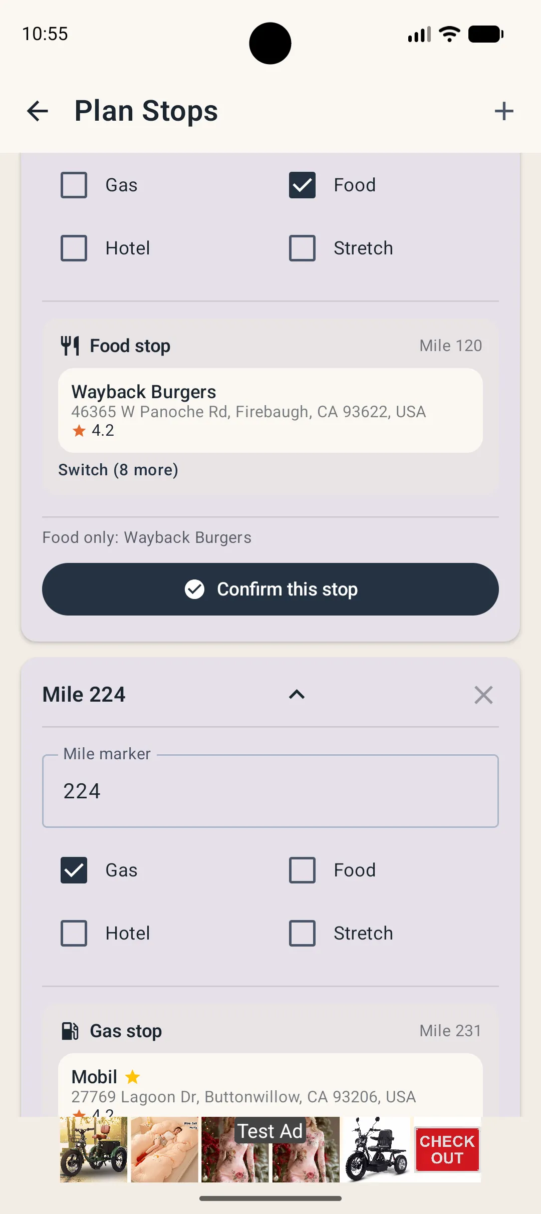
Pick gas, food, hotel or stretch options near the route, with your preferred brands surfaced first.
Open your chosen map app, complete stops as you go, and resume the trip without rebuilding the plan.
These are current public store screenshots. Minor UI changes can be swapped in later without changing the layout.
See the privacy overview and the official policy for full details.